Interactive Maps
Introduction
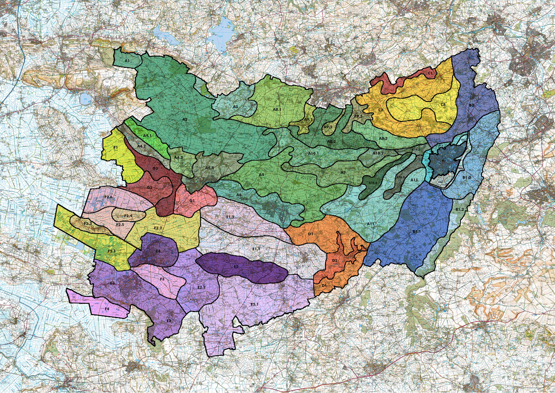
The proposed landscape character areas are available as a pdf. To download a copy of the pdf, please click onto the button below. To compare with the previous character areas, please refer to the maps below.

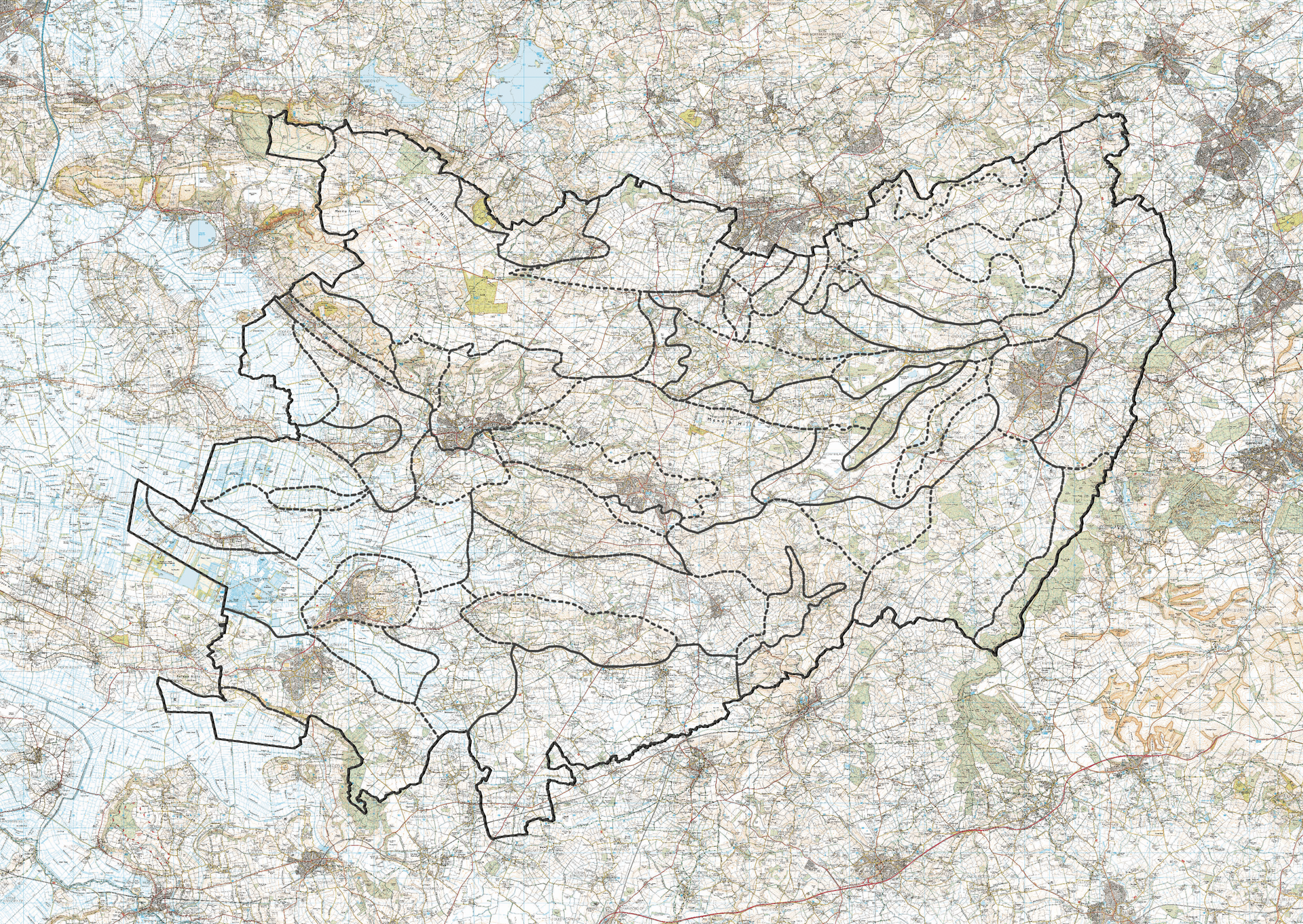
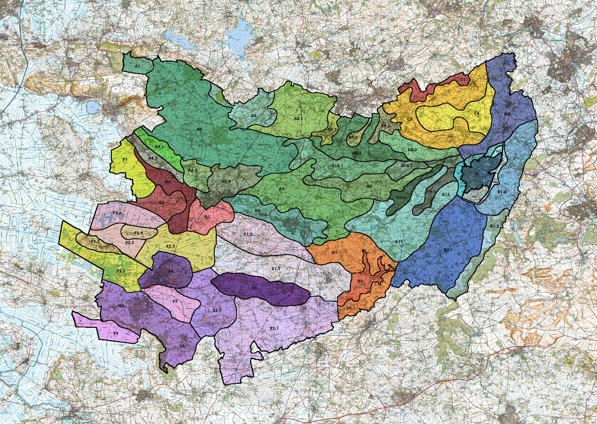
LANDSCAPE CHARACTER BOUNDARIES
The landscape character assessments in 1997 are represented by dotted lines whereas current landscape character assessments are shown in colours. Please scroll left and right to explore the changes of the boundaries. Please refer to the interactive map if you would like to zoom into specific areas with respect to the open ordinance survey. Click here view the slider.
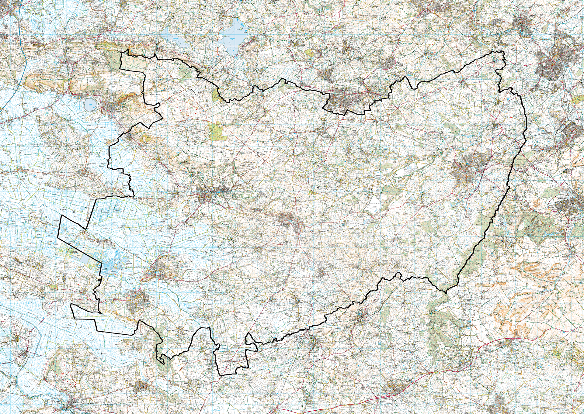
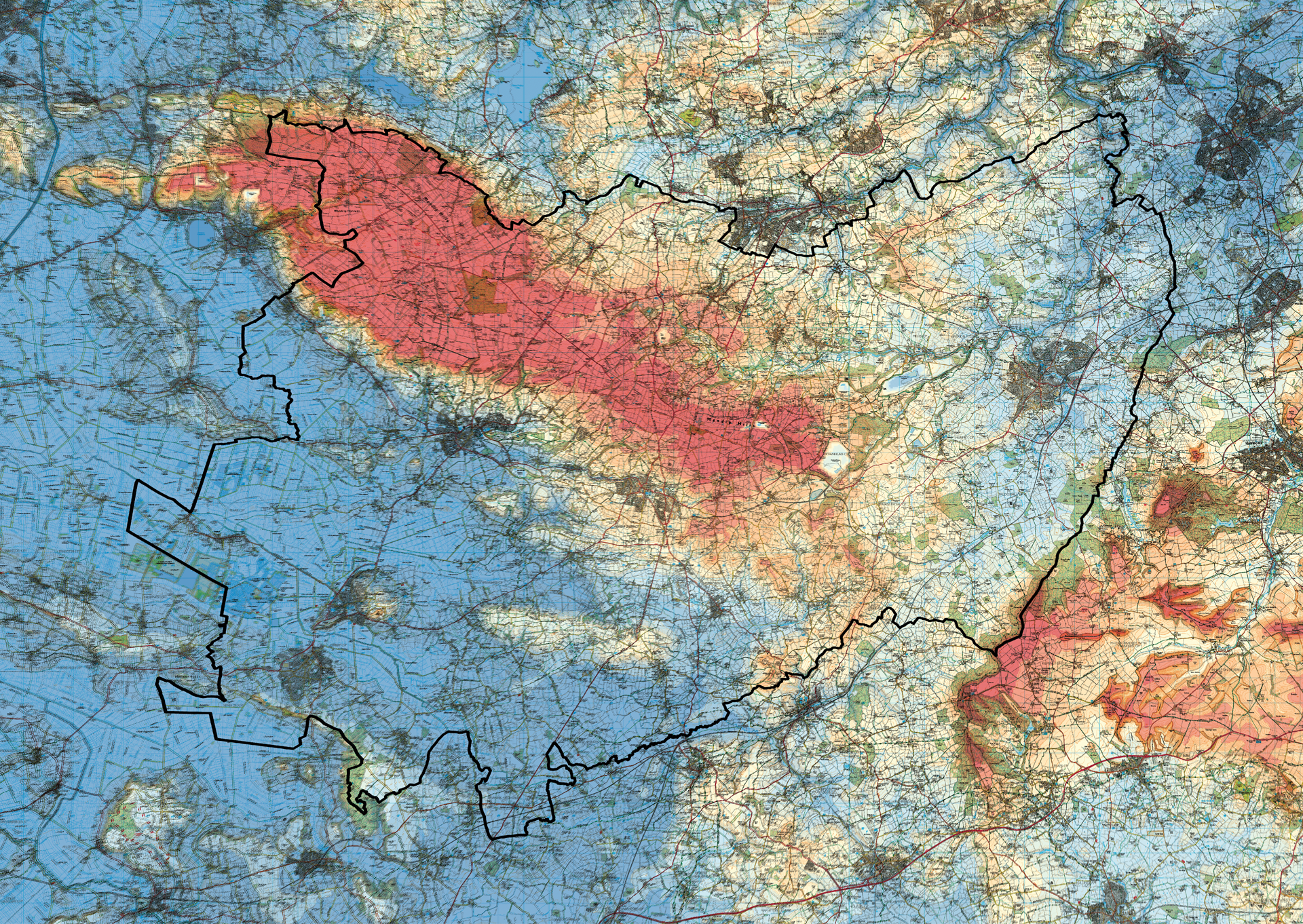
TOPOGRAPHY
The Mendip district area contains the highest point of the ridge and the hills stand higher than all the other surrounding landscapes in this part of the SW region. The hills form a spine like ridge across the northern part of the MDC area with distinct differences between the north and south side slopes and plateau top. Click here to view the slider.
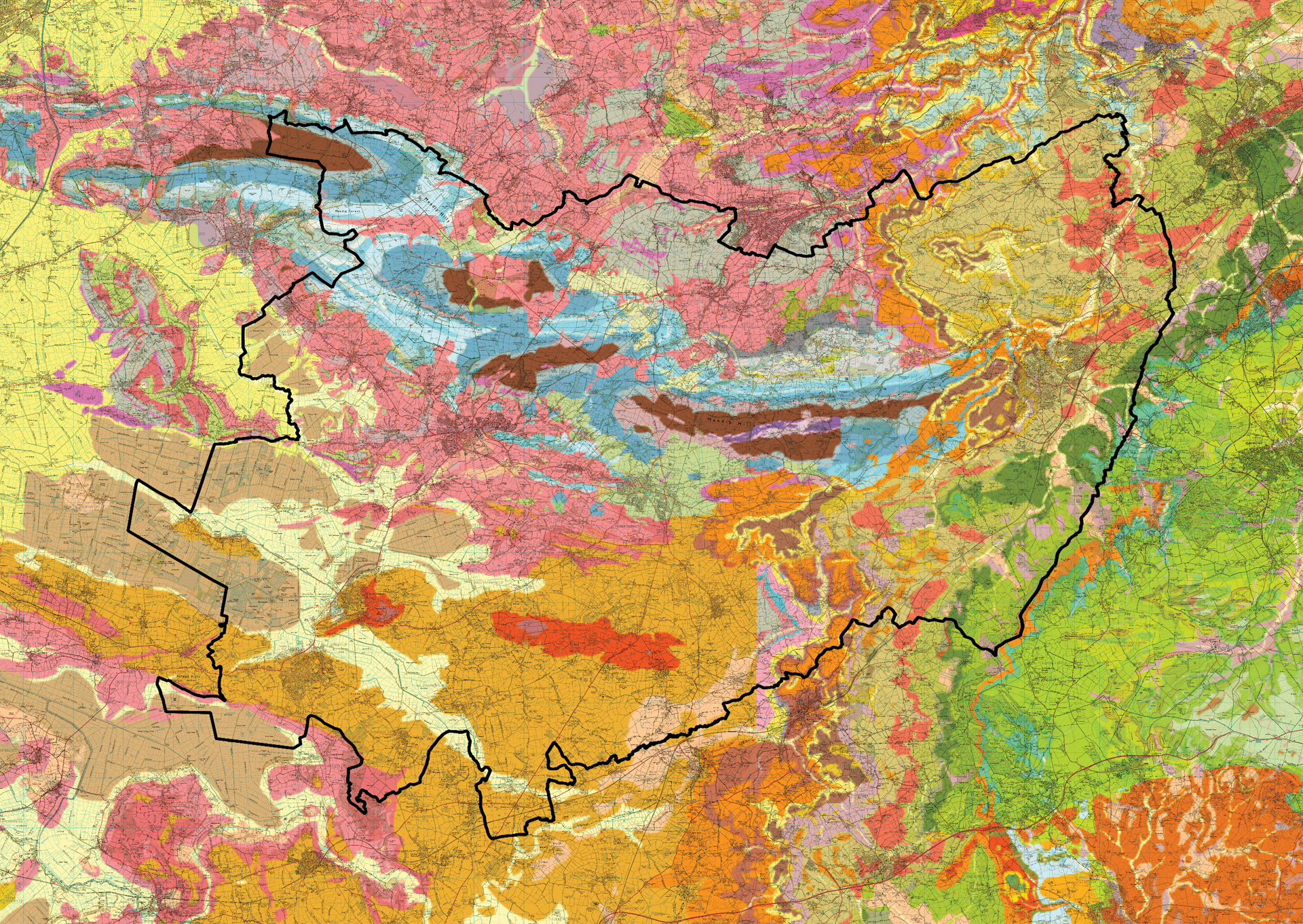
GEOLOGY
On both geological and topographic maps the Mendips stand out as a distinctive feature within the region. The hills formed originally as a mountain range when the mainly Devonian and Carboniferous bedrocks were pushed up at the end of the Carboniferous period. Erosion over the subsequent millennia planed off the top parts of folded hard rocks to leave the instantly recognisable repeating pattern of concentric outcrops. These sit as a chain stretching from Weston-super-Mare on the edge of the Bristol Channel to Frome in the eastern portion of the district. Click here to view the slider.
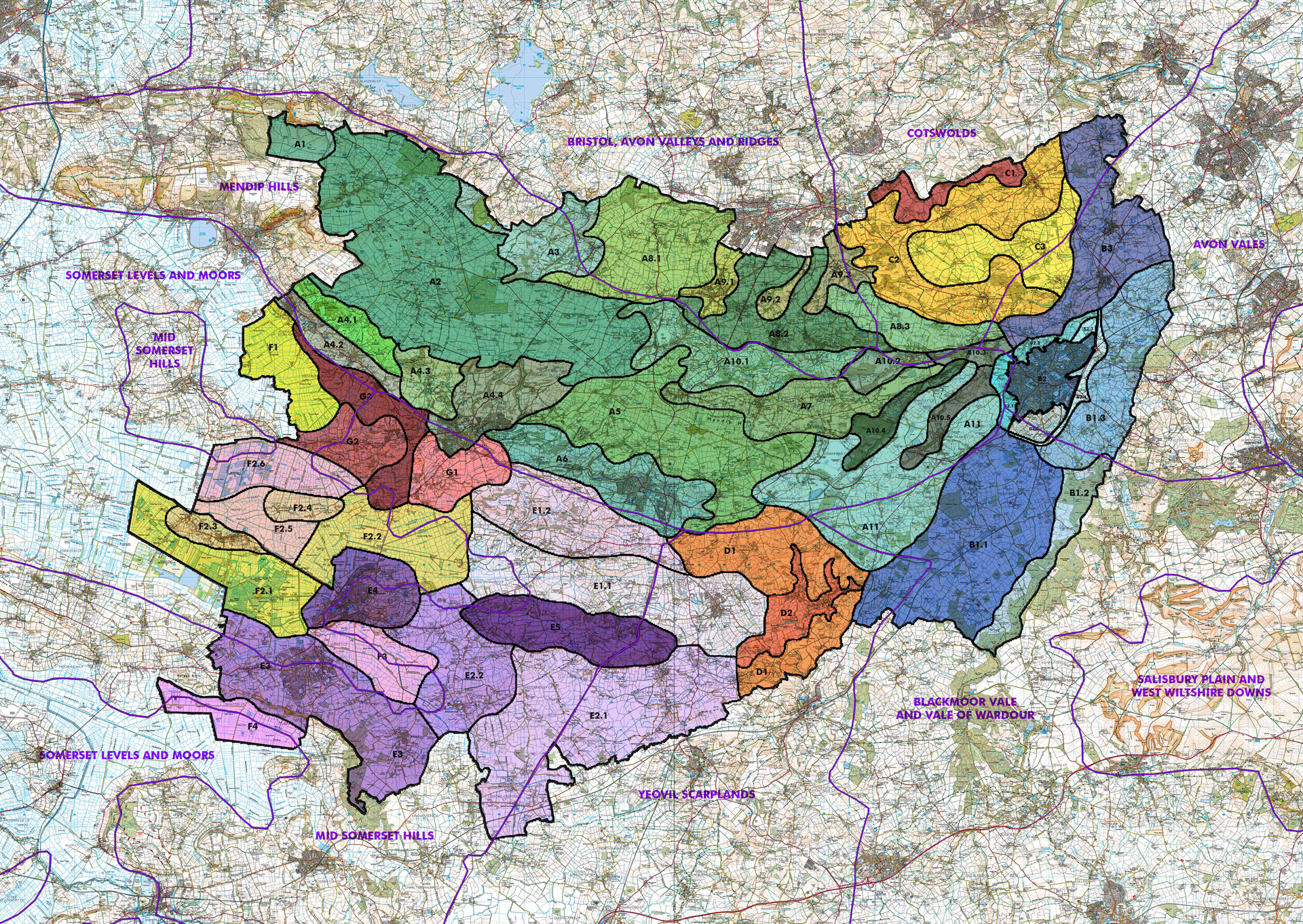
NATIONAL CHARACTER AREAS
Here is a comparison between the proposed landscape characters and the national character boundaries. Click here view the slider.